Professional Drone Surveying Sunshine Coast
The Sunshine Coast is seeing rapid growth in infrastructure and property development. To manage these complex projects efficiently, engineers and developers require highly accurate data. SEQ Drone Inspections provides professional drone surveying Sunshine Coast services, delivering precise aerial insights that drive informed decisions. Explore our all drone services or view surveying services.
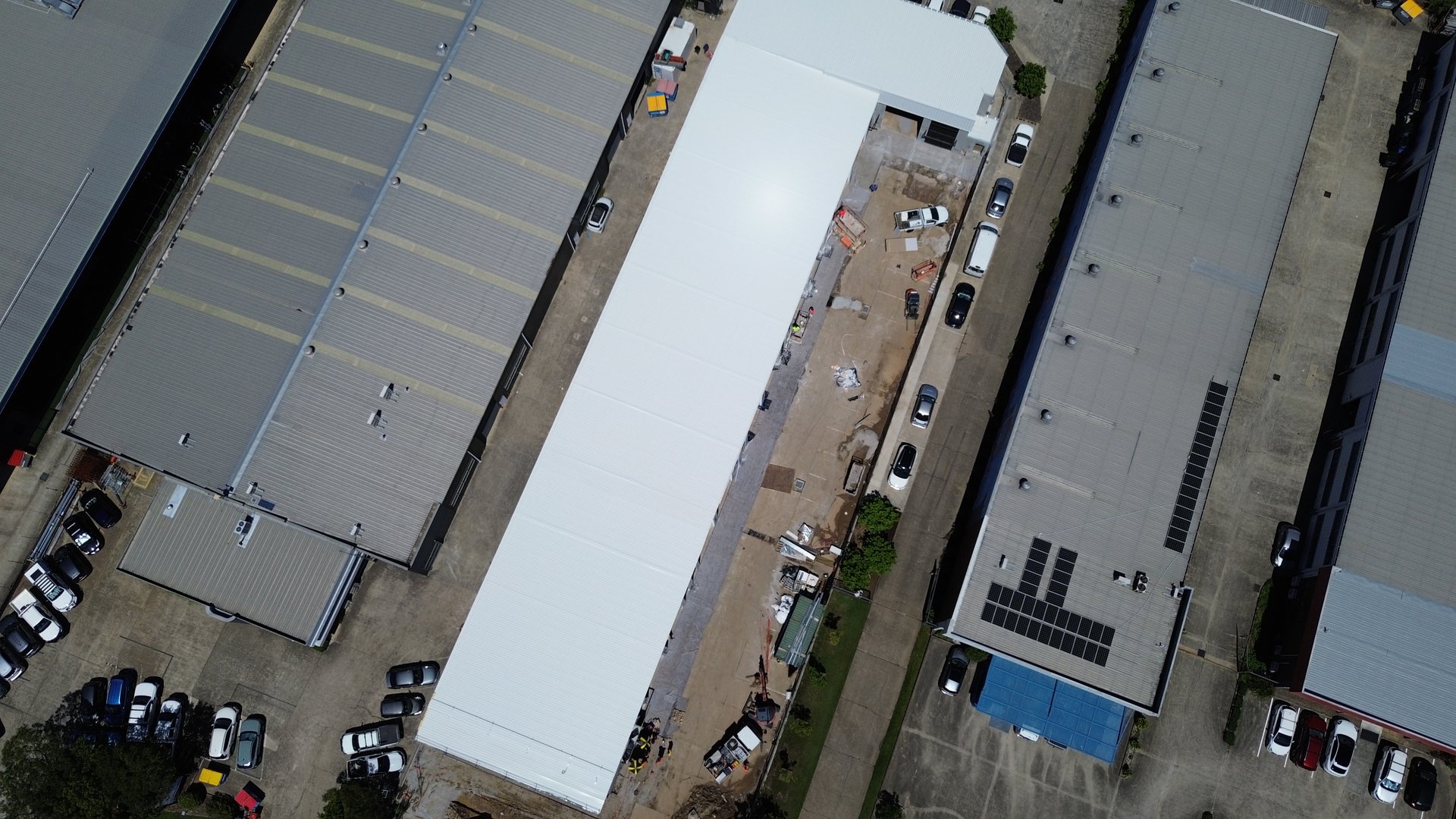
We utilise state-of-the-art drone technology to capture comprehensive data across large areas. Whether you are planning a new subdivision in Maroochydore or managing a civil infrastructure project in the hinterland, our team delivers the reliable resources you need. By moving away from slow traditional survey methods, we help you achieve major milestones faster and within budget.
What is Drone Surveying?
Drone surveying involves using a remotely piloted aircraft (UAV) equipped with high-resolution cameras or LiDAR sensors to capture data from above. Unlike simple aerial photography, a drone survey is a technical process designed to produce geometrically corrected maps and 3D models.
Our UAV surveying fleet flies pre-programmed paths to ensure full coverage of the site. We process the captured images using advanced photogrammetry software to create orthomosaics, point clouds, and digital elevation models. This allows us to map land with incredible precision, providing a digital twin of the site that can be used for engineering, construction, and environmental monitoring.
The Advantage Over Traditional Survey Methods
For decades, land surveyors relied on total stations and GPS rovers to map sites point by point. While effective, traditional survey methods can be time-consuming and labour-intensive, especially on large or difficult terrain.
Drone surveying changes the game. A UAV can cover hundreds of hectares in a single day, capturing millions of data points compared to the few hundred a ground crew might collect. This efficiency translates into cost-effective solutions for our clients. By reducing the time spent on site, we minimise safety risks and deliver data quickly, allowing your team to move forward without delay.
Using drone technology does not mean sacrificing accuracy. By integrating ground control points and RTK/PPK positioning, our aerial surveys achieve accuracy levels comparable to terrestrial methods, but with vastly more detail.
Our Drone Surveying Services
We offer a diverse range of UAV surveying services tailored to the specific needs of the Sunshine Coast market.
LiDAR Data Acquisition
Light Detection and Ranging (LiDAR) is a powerful technology for penetrating vegetation. Our drones equipped with LiDAR sensors send laser pulses to the ground, measuring the reflection time to calculate distance. This allows us to map the bare earth beneath tree canopies and dense bushland. LiDAR data is essential for accurate contour mapping in overgrown areas where photogrammetry might fail. We deliver clean, classified point clouds that reveal the true natural features of the terrain.
Aerial Mapping and Photogrammetry
For open sites, photogrammetry is an ideal solution. We capture thousands of overlapping high resolution images and stitch them together to create a seamless 2D map or 3D model. This aerial mapping process is perfect for visualising construction progress, measuring stockpiles, and creating up-to-date site plans. The resulting orthomosaics are high-resolution maps where every pixel has a precise geographic location.
Asset Inspection and Hazardous Locations
Inspecting tall structures or unstable ground can be dangerous. Our UAVs can access hazardous locations that are unsafe for human personnel. We perform detailed asset inspection for towers, bridges, and roofs, capturing high-resolution photos and video that allow engineers to assess condition without working at heights. This approach significantly improves safety on site while providing a level of detail that is hard to see from the ground.
Industries We Serve on the Sunshine Coast
Our professional expertise extends across multiple sectors, helping businesses and government bodies leverage the power of aerial data.
Construction and Engineering
In the construction industry, tracking progress and maintaining accuracy is vital. We work closely with site managers to provide regular aerial surveys that track earthworks volumes and verify design adherence. Our data integrates directly into CAD and BIM software, ensuring that the digital design matches the physical reality.
Urban Planning and Land Development
As the Sunshine Coast expands, urban planning becomes increasingly complex. Developers use our drone surveying services to assess land viability before purchasing. We provide precise topographic maps that help architects design with the landscape in mind, optimising drainage and road layouts.
Environmental and Agricultural
Managing the natural environment requires accurate data. We assist agricultural clients by mapping crop health and analysing terrain drainage. Our drones can also monitor coastal erosion, vegetation growth, and changes in waterways, providing valuable insights for environmental management.
Understanding the Drone Survey Process
We have refined our workflow to ensure every job is completed to the highest standard.
Consultation
We discuss your project requirements, defining the area to map and the required accuracy.
Flight Planning
Our pilots assess weather conditions, airspace regulations, and site hazards to plan a safe and efficient flight path.
Data Capture
We deploy our fixed wing or multi-rotor UAVs to fly the site, capturing aerial imagery or LiDAR data.
Processing
The raw data is processed using powerful software to generate the final deliverables.
Delivery
You receive the accurate data in your preferred format, ready for analysis.
Frequently Asked Questions
Why Choose SEQ Drone Inspections?
We are a local business committed to delivering excellence. Our team combines technical surveying knowledge with piloting skill to provide a service you can trust.
Cutting Edge Drone Technology
We invest in the latest UAV platforms and sensors to ensure we deliver the highest quality results.
CASA Licensed
We are fully licensed by the Civil Aviation Safety Authority, ensuring all our operations are legal and compliant.
Safety First
We prioritise safety in every operation, conducting thorough risk assessments for every flight.
Data Integrity
We understand that your project depends on the accuracy of our data. We use rigorous quality control processes to ensure every map and model is precise.
Sunshine Coast Surveying Excellence
From hinterland properties to coastal developments, we deliver precise aerial data across the Sunshine Coast region.
Transforming Data into Decisions
In the modern world, having access to comprehensive data is a competitive advantage. Drone surveying allows you to see your project from a new perspective, revealing details that are missed from the ground. Whether you need to calculate cut and fill volumes, inspect a remote asset, or map a new development, our aerial solutions provide the clarity you need.
We are proud to support the growth of the Sunshine Coast region. Our passion for technology and surveying drives us to deliver the best possible outcomes for our clients. We map the future, one flight at a time. Ready to elevate your project with professional drone surveying? Contact SEQ Drone Inspections today to discuss your needs.
Request Your Free Quote
Get a detailed quote for your Sunshine Coast drone surveying project. We respond within 24 hours.
Get Your Free Quote
24 hour turnaround on all quote requests